Geoshot...
- Home
- / Our Blogs
OUR BLOGS
Unlocking Insights: Data Visualization in GIS
Data visualization in GIS and LiDAR data processing is a powerful tool for unlocking insights and understanding complex geographic information. These technologies provide invaluable insights into our surroundings and have revolutionized the way we perceive and manage geographic data and for this you can contact GeoShot Technologies for an exceptional service in data processing. Let’s delve into the world of GIS and LiDAR data processing, focusing on the power of data visualization and its significance in deriving actionable insights.
Understanding GIS and LiDAR Data processing
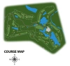
Geographic Information Systems (GIS)GIS is a powerful tool that let us capture, analyze, and visualize spatial and geographic data. It integrates various data sources like satellite imagery, topographic maps, and survey data to create comprehensive maps and models, enabling informed decision-making in fields such as urban planning, disaster management, agriculture, and environmental conservation.
LiDAR Data processingLiDAR data processing involves several intricate steps to transform raw point cloud data into valuable, actionable insights. These steps help to clean, filter, and extract meaningful information from the massive volume of data generated during a LiDAR survey. It provides highly accurate elevation data, which is crucial for terrain analysis, forestry, flood modeling, and infrastructure planning.
The Power of Data Visualization in GIS
Data visualization is the process of representing data in a visual format, such as charts, graphs, maps, or animations.
- Enhanced Understanding Visual representations make complex data more accessible and understandable. Maps, graphs, and charts enable both experts and non-experts to grasp patterns, trends, and relationships within the data.
- Effective CommunicationVisualizations simplify the communication of findings and analysis. A well-designed map or chart can convey a wealth of information at a glance, facilitating the effective sharing of insights with stakeholders.
- Identifying Patterns and Anomalies Visualization allows for the detection of patterns, outliers, and anomalies that might not be evident when examining raw data.
- Better Decision-making When decision-makers can visualize data spatially, they are better equipped to make informed decisions. GIS visualizations support strategic planning, resource allocation, and policy development.
Leveraging LiDAR Data through Visualization
LiDAR data, with its high-resolution elevation models and point cloud information, can be effectively leveraged through data visualization techniques in GIS. Here's how:
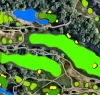
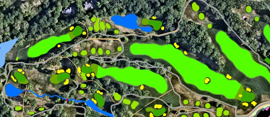
- 3D visualization LiDAR point clouds can be viewed in three dimensions, providing a panoramic view of the terrain. This facilitates topographic analysis, vegetation mapping and infrastructure planning.
- Terrain AnalysisVisualize LiDAR-derived elevation models that help analyze slopes, aspects, and terrain. This is important for applications such as landslide hazard mapping and river basin analysis.
- Forestry and vegetation research LiDAR data processing can assist in accurately identifying and assessing vegetation density, health and biomass. This information is important for forest management and environmental conservation.
Conclusion
By presenting data in a visual format, we can derive actionable insights, communicate effectively, and make informed decisions across various domains. Leveraging LiDAR data through visualization amplifies its potential and enhances our ability to manage and analyze our environment effectively. As technology continues to evolve, the integration of GIS and LiDAR data processing will play an increasingly significant role in shaping a sustainable and informed future.