
The construction and engineering sectors are continuously evolving due to technology, but few enhancements are more revolutionary as drone surveying has been. Traditional Surveying has been the mainstay of surveying for centuries. However, today’s project delivery methods are rapidly demanding fast and dense data that only a UAV (unmanned aerial vehicle) can provide. The question is no longer if drone technology is helpful and or important, but rather which method – Drone Mapping vs Traditional Surveying – is best suited for your specific project.
The Precision of the Past Traditional Surveying
Traditional surveying uses ground-based methodology employing the use of Total Stations, GNSS (Global Navigation Satellite Systems) receivers, and optical instruments. This process is tedious, reliant on manual, labor-intensive inventory collection carried out by smaller, elite field crews.
Advantages:
- Maximum Accuracy: In applications that require millimeter-level accuracy, such as establishing legal boundaries, anchor placements, or multi-structural monitoring, traditional methods are unsurpassed.
- Clear Visibility Data: Ground crews can simply walk or traverse covered-up areas such as underneath thick tree canopy or heavy machinery to obtain direct ground surface density measurements.
- Legal Graduation: Cadastral and legal type surveys need to use the precise methodology and graduate upon the inspection of a licensed ground surveyor in many jurisdictions.
Disadvantages:
- Time-Consuming: Completing foot traversal measurements on larger sites, mobilizing equipment, and manually collecting thousands of data points takes time; and sometimes projects involving larger areas require weeks and others months.
- High Labor Costs: The methodical approach requires many personnel, costs can be prohibitively expensive.
- Danger: Surveyors may find themselves in hazardous terrain, active construction zones, and can find themselves in other inaccessible areas, such as steep slopes, unstable ground, etc.
The Efficiency of the Future Drone Mapping
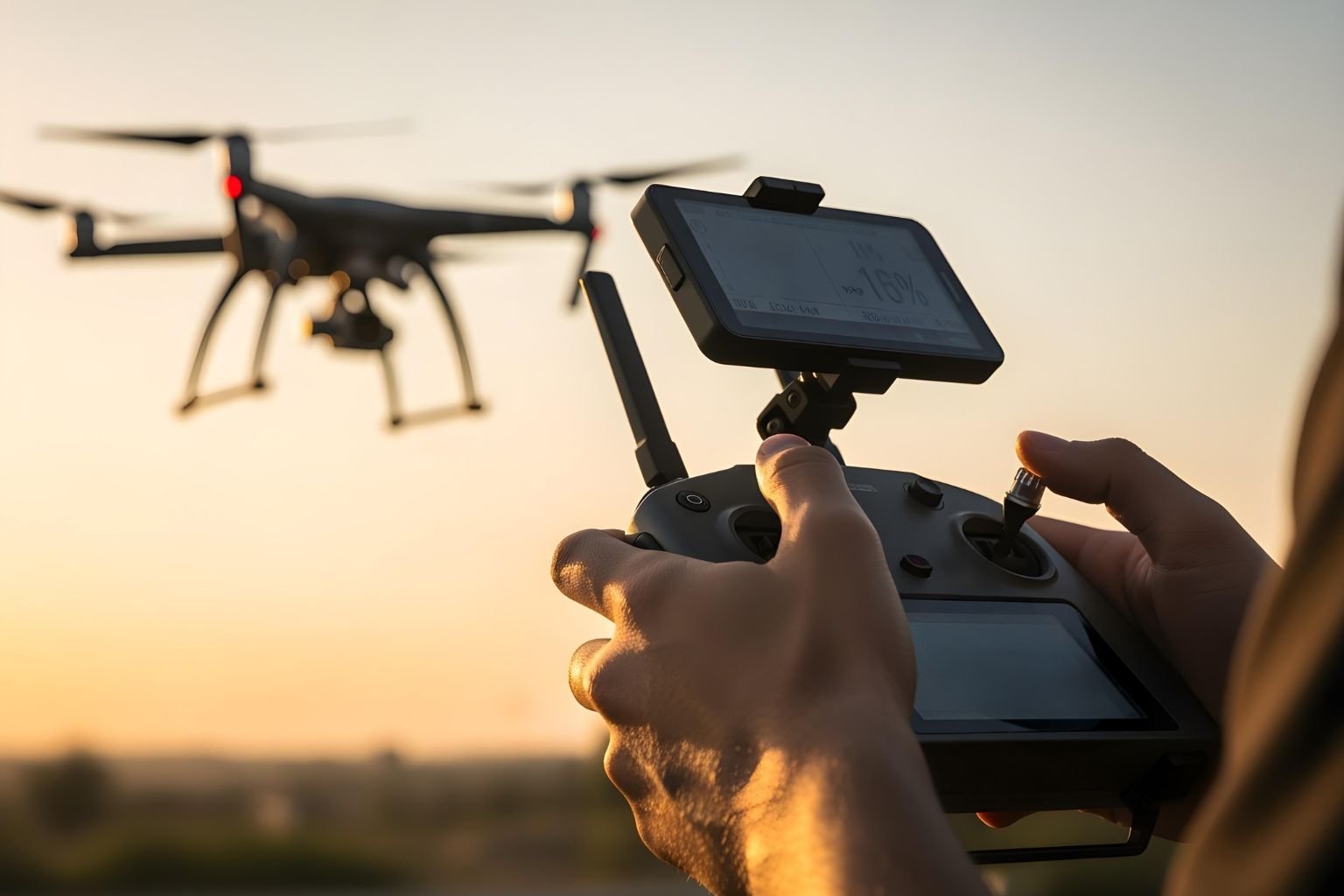
Drone Mapping for Land Surveying, or Aerial Surveying, is accomplished with UAVs with either high-resolution cameras (for photogrammetry) or LIDAR Data Processing Services. The drone takes thousands of overlapping images or laser points from the air and processes them into reliable, georeferenced 3D models and maps.
Aerial Surveying Benefits
1. Speed & Scale
A drone can map hundreds of acres in a single flight compared to a traditional crew mapping the same area with days or weeks of field work. Rapid data collection significantly lowers the time spent in the field which leads to faster decisions and keeps construction timelines moving forward.
2. Safety & Access
One of the most important Aerial Surveying Benefits is the elimination of personnel from dangerous locations. Drones can evaluate the maps of things like unstable slopes, tall buildings, quarries and hazardous industrial maps safely from the air.
3. Data Density & Richness
A single flight of a drone creates a large, dense point cloud (Orthomosaic Map), or a perfectly-scaled, georeferenced photo-map. This information provides a level of visual context and data richness (for example, volumetric calculations of stockpiles, or digital elevation models) that is extremely difficult to obtain through spot-based traditional methods alone.
UAV Survey Accuracy Comparison
The matter of accuracy is extremely important. Traditional surveys have immensely superior absolute accuracy for each individual point. However, new UAV Survey Accuracy Comparisons have shown that drone technology is indeed adequate for approximately 95% of commercial and construction purposes.
- Drones that use Real-Time Kinematic (RTK) or Post-Processed Kinematic (PPK) GPS systems in conjunction with Ground Control Points (GCPs) can consistently achieve centimeter-level accuracy – often in the range of 1-3 centimeters.
- For purposes such as monitoring progress, calculating volumes, and general topographic mapping, this level of accuracy is entirely acceptable and repeatable with a high degree of relative accuracy over the entire site.
Making the Right Choice
In the end, the decision between Drone Mapping versus Traditional Surveying is based on your project:
- Drone Mapping: Best field applications include large-area surveys, consistent monitoring of site progress (high-frequency updates), volume calculations (for stockpiles or cut-and-fill methodology), and initial topographic mapping, where time and safety is a priority.
- Traditional Surveying: Best field applications for this include legal boundary determination, precision layout of structural components, and environments with significant overhead obstruction.
- Combined: The best projects incorporate both Drone Mapping and Traditional Surveying. Drone Mapping will provide a rapid, high-density aerial context to the project while a small Traditional crew will provide ground control points for the mapping of the most critical tie-in or boundary points with greater precision.
Geoshot: All in One Solution for Survey
At Geoshot we believe today’s projects require high-tech, flexible, modern solutions. We offer a full range of surveying and documentation services. If the project requires the speed and density of information Drone Mapping for Land Surveying provides or the fine accuracy Traditional Ground Surveying offers, our expert team has the experience and technology to provide absolutely precise and actionable results that keep your project on time and within budget.
(FAQs)
Q. 1 How long does a drone survey take compared to a traditional survey?
A drone can typically complete an Aerial Surveying flight over a 100-acre site in a few hours, whereas a traditional crew might take several days or a week to collect comparable data points.
Frequently Asked Questions

Founder & CEO
Bigyan Kar is the driving force behind Geoshot Technologies and has been since its founding, leading the company’s vision in delivering advanced CAD, GIS, graphics, map illustrations, and 3D solutions across multiple industries. While Geoshot serves a wide range of sectors, Bigyan has maintained a strong specialization in golf course graphics, CAD drafting, and mapping—ensuring highly accurate and visually compelling representations for golf architects and planners. His commitment to precision, visual clarity, and innovation has enabled Geoshot to produce high-quality 3D models, detailed maps, and comprehensive design visualizations for clients worldwide. Under his leadership, Geoshot Technologies has grown into a trusted partner for architects, planners, designers, and engineering teams by continuously investing in technology, talent, and workflow excellence. His ability to blend technical expertise with creative insight has established Geoshot as a leader in premium 3D visualization, CAD drafting, and mapping solutions across diverse sectors, with a distinguished reputation in the golf design industry.