
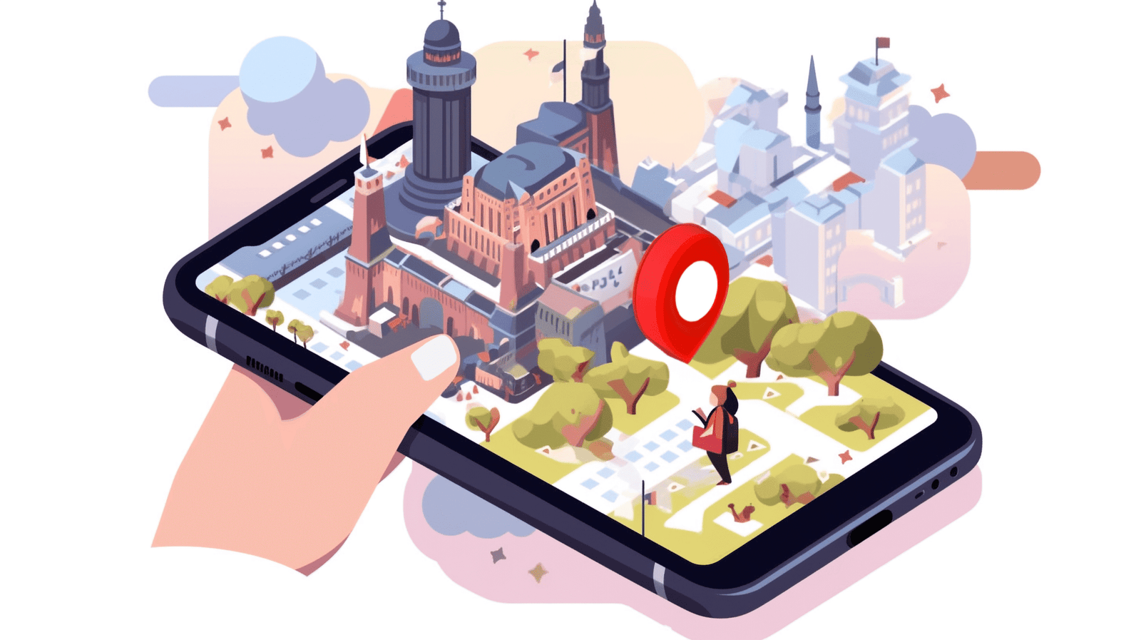
3D maps are now the preferred option over 2D maps for their realism and the interactive way they show depth to viewers. With the increased use of digital media in areas like real estate, travel, smart cities, video games, and navigation, users expect to have a richer experience with maps that go beyond simple outlines. Users want their maps to be engaging, accurate, and visually attractive. A 3D map illustration meets and exceeds these expectations by integrating design, technology, and spatial data into a single, intuitive view that improves comprehension and business decisions.
Why Google Maps 3D and 3D mapping technology lead the Shift
With innovations like Google Maps 3D and advanced 3D mapping technology, digital maps have evolved from simple visuals to immersive navigation tools. These solutions provide realistic cityscapes, terrain views, and multi-angle exploration, making traditional maps feel outdated as virtual mapping solutions become the new industry standard.
- Offers highly realistic building visuals, terrains, and landmarks
- Allows users to rotate, tilt, and zoom for detailed map exploration
- Integrates smoothly with AR, VR, and mixed reality experiences
- Helps users understand elevation, depth, and structural layouts
- Ensures faster decision-making with layered geographic data
- Enhances engagement through interactive and immersive map views
Enhanced Visual Realism with 3D Map Illustrations
3D map illustrations provide true-to-life visuals that help users understand environments at a glance. Buildings, roads, landscapes, and terrain are represented with depth and proportion, enabling a clearer overview. Whether used in navigation, virtual tours, tourism platforms, or real estate previews, these maps create a more realistic and engaging visual experience.
Virtual Mapping Solutions Improve Spatial Understanding
Virtual mapping solutions combine 3D modeling, GIS data, and interactive elements to help users grasp complex spatial layouts easily. They show elevation, gradients, distances, and surrounding structures in a way that 2D maps cannot. This makes them essential for planning, logistics, travel design, and smart infrastructure development.
Better User Engagement Across Digital Platforms
Users spend more time engaging with 3D maps because they are more interactive, visually appealing, and informative. From interactive travel guides to navigation apps and gaming environments, 3D maps encourage exploration, zooming, rotating, and clicking—creating a richer and more memorable digital experience that boosts user satisfaction.
Greater Compatibility with AR, VR, and Smart Devices
As AR and VR technologies become mainstream, 3D maps serve as a natural foundation for immersive applications. They align perfectly with spatial data overlays, virtual simulations, and real-time pathfinding. Smartphones, smart glasses, and VR headsets use 3D map layers to deliver interactive digital experiences that traditional maps can’t support.
Customization Options Not Possible with Traditional Maps
3D maps offer unmatched customization with stylized designs, animated elements, color themes, textures, and branding-compatible layouts. This flexibility helps architects, urban planners, real estate companies, and tourism brands communicate information visually while maintaining brand identity. Traditional maps lack the ability to adapt to such creative and interactive needs.
3D Maps Improve Navigation and Real-Time Wayfinding
Navigation becomes smoother with 3D maps because users can see landmarks, slopes, paths, and building shapes clearly. 3D wayfinding reduces confusion and supports real-time turn-by-turn guidance. This level of clarity benefits drivers, cyclists, pedestrians, and even drone pilots who rely on accurate spatial information.
Transforming Industries Beyond Navigation and Travel
Industries like gaming, real estate, engineering, logistics, and emergency services increasingly depend on 3D map illustrations. These maps support everything from virtual walkthroughs to construction planning. By integrating geospatial intelligence with creative visualization, 3D map illustrations improve workflows and decision-making across multiple professional sectors.
Smarter City Planning and Infrastructure Visualization
City planners use 3D maps to assess traffic flow, land use, zoning layouts, environmental elements, and building expansions. These maps help visualize how new infrastructure will fit into existing environments. They also support sustainability decisions by showing terrain, drainage, and vegetation patterns with high clarity.
3D Map Illustrations Boost Marketing and Storytelling
Businesses use 3D maps to create visually captivating storytelling experiences. Whether showcasing a travel destination, promoting a real estate project, or explaining a product location journey, 3D illustrations help brands communicate more clearly. They give audiences an interactive and enjoyable way to understand information.
Frequently Asked Questions

Founder & CEO
Bigyan Kar is the driving force behind Geoshot Technologies and has been since its founding, leading the company’s vision in delivering advanced CAD, GIS, graphics, map illustrations, and 3D solutions across multiple industries. While Geoshot serves a wide range of sectors, Bigyan has maintained a strong specialization in golf course graphics, CAD drafting, and mapping—ensuring highly accurate and visually compelling representations for golf architects and planners. His commitment to precision, visual clarity, and innovation has enabled Geoshot to produce high-quality 3D models, detailed maps, and comprehensive design visualizations for clients worldwide. Under his leadership, Geoshot Technologies has grown into a trusted partner for architects, planners, designers, and engineering teams by continuously investing in technology, talent, and workflow excellence. His ability to blend technical expertise with creative insight has established Geoshot as a leader in premium 3D visualization, CAD drafting, and mapping solutions across diverse sectors, with a distinguished reputation in the golf design industry.