
5 Essential Steps in GIS Data Processing A Comprehensive Guide
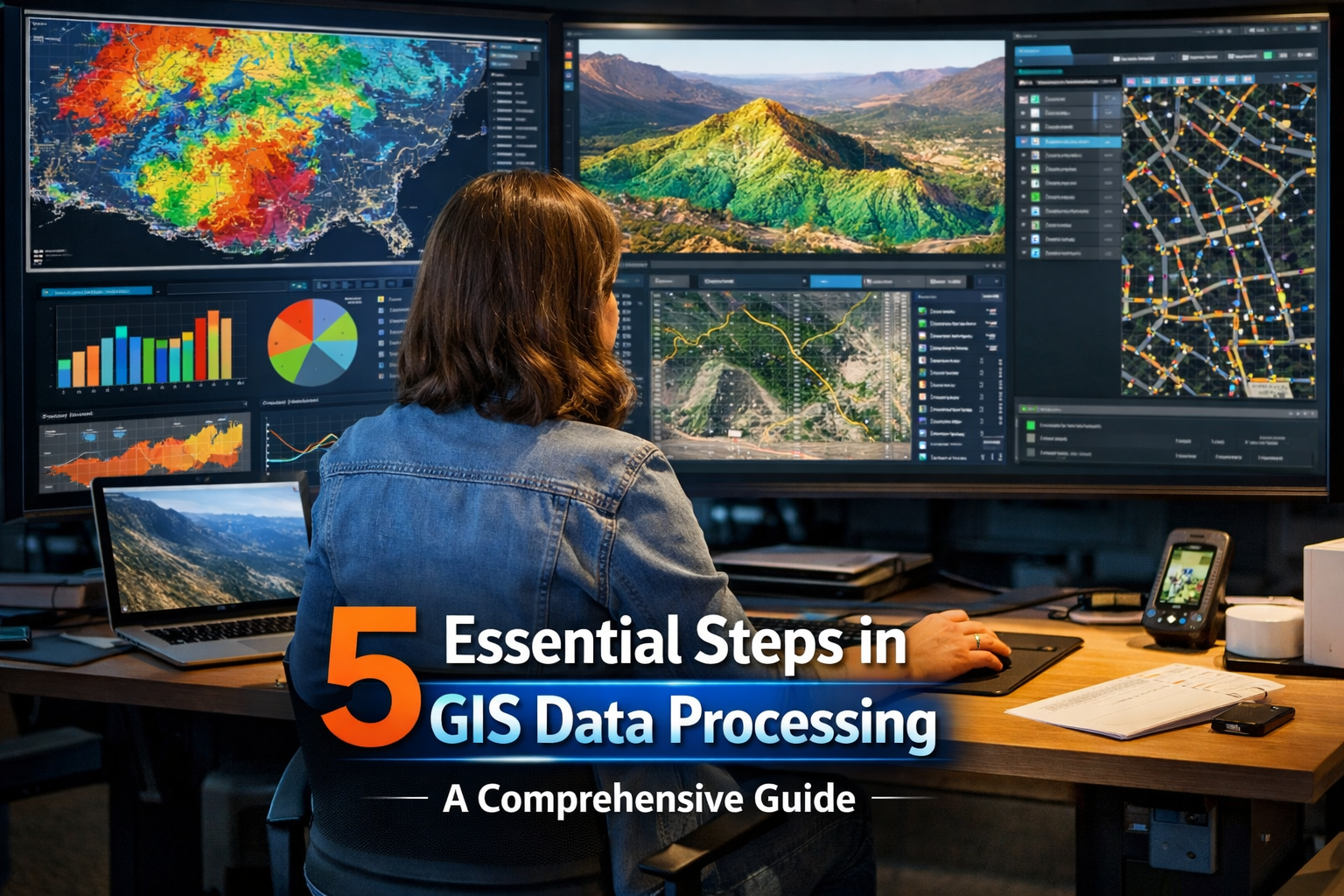
Geospatial data analysis and processing lie at the core of Geographic Information Systems (GIS), where raw spatial data is transformed into actionable insights. At GeoShot Technologies, we are a leading GIS Mapping Company, specializing in the art of transforming complex geospatial datasets into useful information. This guide highlights the five essential steps in GIS Data Processing to help you make the most of your data.
1. Data Preparation and Integration
GIS data processing begins with thorough data preparation and integration. This step ensures the consistency and compatibility of datasets collected from various sources such as satellite imagery, aerial photography, and ground sensors. GeoShot Technologies excels in GIS Data Processing, harmonizing formats, resolving discrepancies, and aligning spatial reference systems to create a robust foundation for accurate geospatial analysis.
2. Exploratory Data Analysis (EDA)
Once data is prepared, it undergoes Exploratory Data Analysis (EDA) to uncover its inherent characteristics. Our team uses statistical methods, visualization tools, and spatial queries to detect patterns, trends, and anomalies. Through EDA, we also address potential issues such as outliers and inconsistencies, laying the groundwork for data-driven decision-making.
3. Spatial Analysis and Modeling
Spatial analysis and modeling are at the heart of GIS, providing valuable insights to address project goals. GeoShot employs advanced techniques, including proximity analysis, raster processing, and spatial interpolation. These methods help tackle challenges like environmental assessments, optimizing supply chain routes, and identifying suitable locations for infrastructure development. Our expertise ensures actionable outcomes from even the most complex geospatial challenges.
4. Geoprocessing and Automation
At GeoShot, we leverage geoprocessing and automation to enhance efficiency and streamline workflows. By employing tools like buffering, overlay analysis, and geometric transformations, we ensure precision in processing spatial data. Automation through scripting languages such as Python accelerates repetitive tasks, reducing errors, and ensuring timely delivery of high-quality results for all GIS Data Processing projects.
5. Interpretation and Decision Support
The final stage in the GIS Data Processing workflow involves interpretation and decision-making. GeoShot collaborates closely with clients to visualize analysis results and translate them into practical strategies. Whether optimizing resource allocation, identifying risk factors, or supporting policy development, our solutions empower stakeholders with the knowledge needed for impactful decisions.
Conclusion
Geospatial data analysis and GIS Data Processing are pivotal in converting raw data into actionable insights. As a trusted GIS Mapping Company, GeoShot Technologies combines innovative methods and cutting-edge tools to offer unparalleled solutions for complex spatial challenges. By following these five steps, you can unlock the full potential of your geospatial data. Partner with GeoShot Technologies to maximize value, streamline workflows, and drive success in all your GIS endeavors.

Founder & CEO
Bigyan Kar is the driving force behind Geoshot Technologies and has been since its founding, leading the company’s vision in delivering advanced CAD, GIS, graphics, map illustrations, and 3D solutions across multiple industries. While Geoshot serves a wide range of sectors, Bigyan has maintained a strong specialization in golf course graphics, CAD drafting, and mapping—ensuring highly accurate and visually compelling representations for golf architects and planners. His commitment to precision, visual clarity, and innovation has enabled Geoshot to produce high-quality 3D models, detailed maps, and comprehensive design visualizations for clients worldwide. Under his leadership, Geoshot Technologies has grown into a trusted partner for architects, planners, designers, and engineering teams by continuously investing in technology, talent, and workflow excellence. His ability to blend technical expertise with creative insight has established Geoshot as a leader in premium 3D visualization, CAD drafting, and mapping solutions across diverse sectors, with a distinguished reputation in the golf design industry.